
The road is wide open. Enjoy the ryde.
Motorcycle navigation built for US riders. Turn-by-turn on five route types, offline maps and crash detection are free, with no ads and no selling your data.
Free while in beta. Testers who ride with it and send feedback keep Premium free for life.
What you get free
Free where others charge you
Most navigation apps put the good stuff behind a subscription. OpenRydr doesn't. Navigation, safety, and sharing your rides are free because they should be.
Turn-by-turn, five route types
Quick, Twisty, No Highway, Scenic and Long Way Round.
Crash detection & Safety SMS
Your contacts hear from us if you can’t answer.
Offline maps
Download a region and keep navigating with no signal.
Friends & ride sharing
Add friends and share your rides with them.
Features other apps reserve for paid tiers are free here, on every tier.
Route types
Routes that fit how you ride
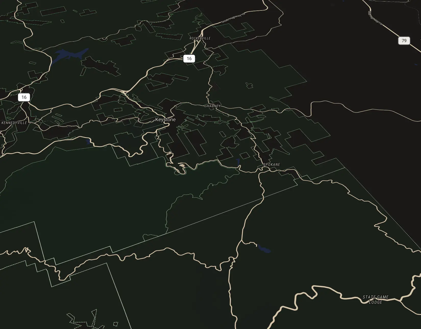
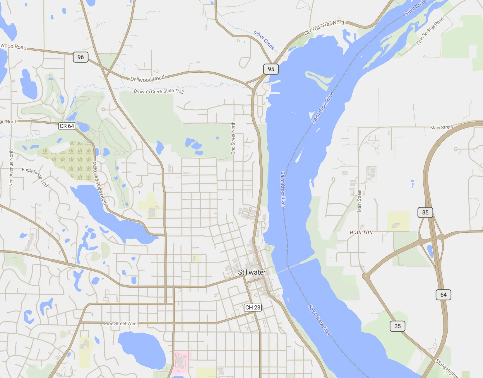
Every ride is different, on two wheels or four. Pick a route type to see a real trip it planned, next to the fast way.
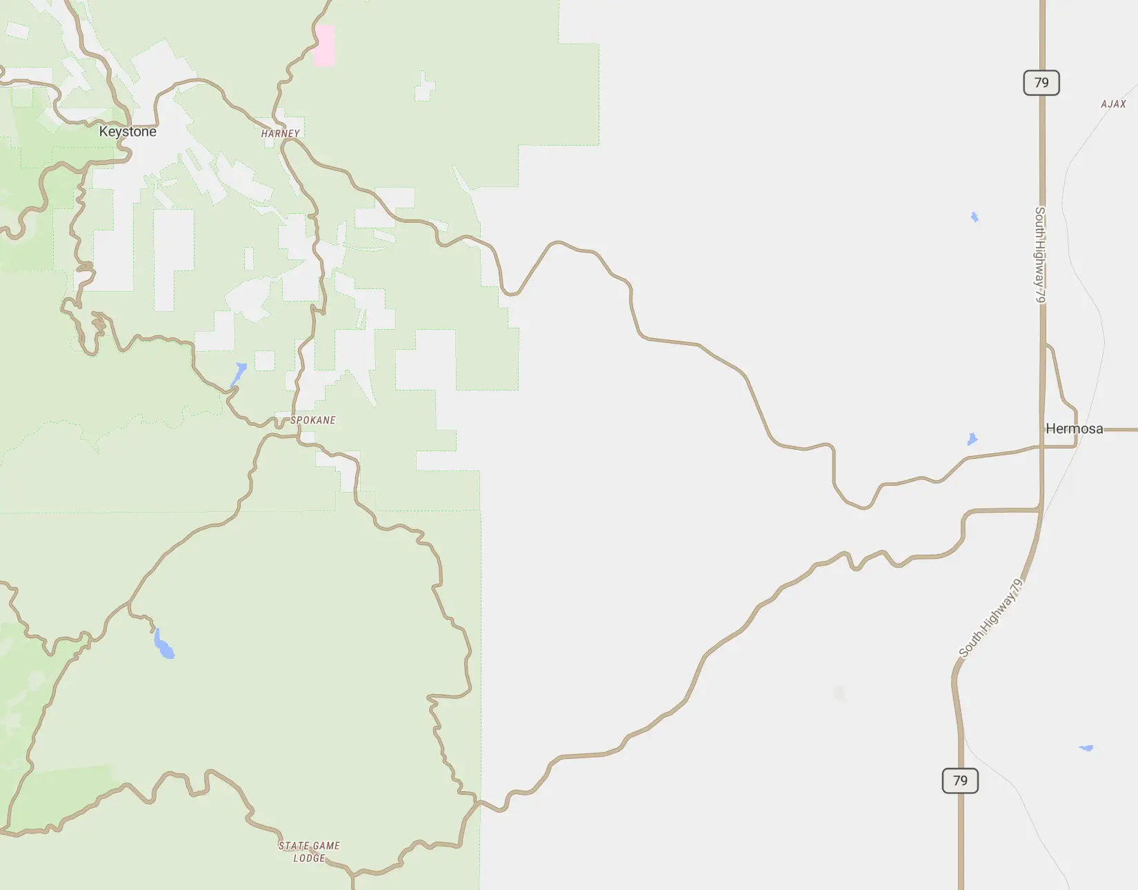
Twisty Roads28.6 mi · 44 min
Prioritizes curves and elevation changes, and favors paved roads.
Rydr riders can shape routes too: mark up to three areas on the map and the route bends through them. Learn more →
Community road database
A road map built by riders
Map geometry can tell you where the curves are. It can't tell you which roads are actually worth riding. Riders can. After a ride, rate the stretches that were Good or a Must-ride.
- Rate stretches from the ride’s page in the app, free on every tier
- One vote per rider per road, and it only counts once it matches a ride you actually recorded
- Be a founding contributor: the map is just getting started, and early riders shape it
Ratings don't change anyone's routes yet. For now, we're building the record. See how it works →
Group riding
Ride together, actually
Group riding in most apps is an afterthought. In OpenRydr, it's a first-class feature, built for how groups actually ride.
- Shared destination, personal routing: everyone takes their own line
- Real-time member positions on a shared map
- Auto-regroup detection when someone falls behind
- Trouble alerts for mechanical issues
- Group Trips for multi-day rides, with persistent chat, photos and combined stats
Group riding is Premium for everyone in the group ($4.99/month or $24.99/year). See what's included →
Safety
Crash detection, free for every rider
If OpenRydr detects a crash and you don't respond within 30 seconds, your emergency contacts get an alert with your location. You don't have to reach your phone, and you don't have to pay.
- Hold “I’m OK” to cancel a false alarm, and you’ll be reminded to send an all-clear
- One tap to call 911 or any of your emergency contacts
- Safety SMS: starting a ride fills in a text with your live tracking link, and you tap Send
- Your contacts don’t need the app
The crash countdown in the app. Contacts are examples.
Privacy
Your data stays yours
Simple rule: your rides are yours. We don't sell your data, there are no ads, and the basics are free.
- Rides are recorded on your phone and backed up to your account, so a lost phone doesn't mean lost rides. Privacy zones you set, like home, are cut from the backed-up copy.
- Rides are private unless you choose to share them. During the closed beta, testers' new rides default to public; you can turn that off in Settings.
- No ads on any tier, and no advertising SDKs, ever.
- The community road database is opt-in. Ride data sent to it carries no account and is discarded once it's matched to roads.
- Export your data or delete your account any time in Settings ▸ Privacy & Data.
Pricing
Pricing that doesn't fight you
Free for the basics. Cheap for the extras.
Beta testers get Premium free for the whole beta — no card.
Free
Always free
Navigation, safety, and social features. No card required.
- All 5 route types
- Crash detection & Safety SMS
- Severe-weather, ice & heat alerts
- Offline maps (1 region)
- Ride recording & sharing
Rydr
$12.99/year
$2.99/month
Full backup, more offline maps, weather and route-shaping tools.
- Everything free, plus:
- Full ride-history backup (Free keeps full detail for 20 days)
- 4 offline map regions
- Weather radar, route-time weather & weather ahead
- Avoidance Strengths & Route Shaping
- Full Discover — open, ride & rate community routes
- PDF ride export
Premium
$24.99/year
$4.99/month
Group riding, Group Trips and scheduled rides, for riders who ride together.
- Everything in Rydr, plus:
- Group riding & Group Trips
- Scheduled rides with RSVPs
- Unlimited offline map regions
“I wanted a motorcycle navigation app that actually worked, without costing more than every other app on my phone. So I built one, priced it at what I’d be comfortable paying, and I read every bit of feedback riders send.”
Beta testers